
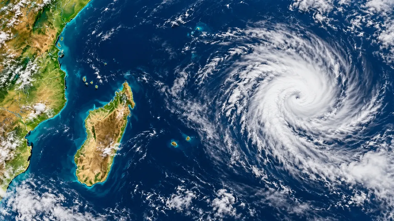
The cyclone season in La Réunion officially opens on 1 November, and forecasters are already watching for a system that could strengthen into a tropical storm as early as next week. For islanders, this is not a reason to panic. It is the annual reminder to check supplies, secure the home and learn the alert system again. A storm forming far out at sea is a different thing from a storm threatening the island, and knowing the difference keeps you calm and prepared.
Why a Storm Forming Early Doesn’t Mean a Threat to the Island
The southwest Indian Ocean basin is monitored by the Réunion-based specialised meteorological centre, which tracks every disturbance from birth. The favourable period for cyclones runs from 1 November to 30 April. For Réunion itself, the real risk is concentrated between December and April, with a peak in the middle of that window. Early-season systems often form far from the Mascarene Islands, and many weaken or drift away without ever coming close.
A disturbance only gets a name once it reaches the moderate tropical storm stage, with average winds near the centre of roughly 63 to 88 km/h. The 2026–2027 list of 26 names opens with Agueda and closes with Zacarias. When you hear a name on the news, it simply means the system has crossed that threshold. It doesn’t mean it is heading your way.
Reading the Alert System Without the Confusion
Réunion uses a four-level cyclone alert scheme, preceded by a pre-alert stage. The key is to know what each colour asks of you, because the instructions change sharply from one level to the next.
| Alert level | What it signals | What it means for residents |
|---|---|---|
| Pre-alert (yellow) | A system is being monitored and could approach within about three days | Stay informed, begin preparations |
| Orange | A cyclonic event poses a danger to the island within 24 hours | Finish preparations, limit travel, secure outdoor items |
| Red | Dangerous conditions are imminent or underway | Confinement at home, except for emergency services |
| Violet | The most severe conditions | No movement outside at all, including for emergency services |
Past events show how quickly things can escalate. In January 2024, the approach of Belal pushed the island to the top violet level, and insurers estimated the damage at about 100 million euros. In February 2025, Garance prompted a red alert with gusts above 150 km/h expected. Both were reminders that forecasters can give days of notice, but the exact timing and track can still shift.
What the Forecast Outlook Tells Us (and What It Doesn’t)
The most recent season was slightly above normal in the basin, with 11 storms against a norm of 10, six of them reaching tropical cyclone strength. The previous season was far busier, ranking among the five most active in decades. Météo-France has noted that a strong El Niño later in the year could dampen basin-wide activity this season. It was also clear on the caveat that matters most: Réunion’s exposure stays the same. A quieter basin doesn’t make a single close pass any less dangerous.
That is why seasonal outlooks are best used for context, not comfort. A single storm passing close to the island matters far more than the season’s total count.
Your Pre-Season Preparation Checklist
The calm weeks before a storm are the best time to get ready. Do these now, not when the alert turns red:
- Prepare a water supply of several litres per person per day, plus non-perishable food for at least three days
- Charge power banks and keep a battery radio and torch handy
- Gather essential medication, a basic first-aid kit and copies of important documents in a waterproof bag
- Trim loose branches and remove or tie down anything that could blow around
- Know your home’s weak points (shutters, roof, flood-prone areas) and where your nearest shelter is
- Save the official forecast and prefecture channels, and agree a plan with family and neighbours.
Frequently Asked Questions
When does the cyclone season officially start in La Réunion?
The favourable period runs from 1 November to 30 April, though the main threat to the island is usually from December to April.
Does a tropical storm forming mean La Réunion will be hit?
No. Most early systems form far away and many never approach the island. Official forecasts and the alert level are what tell you whether a real threat exists.
What is the difference between a red and a violet alert?
Red orders confinement for the general population, while violet is the highest level and bans all movement outdoors, including for emergency services.
When is a storm given a name?
Once it reaches the moderate tropical storm stage, with average winds of roughly 63 to 88 km/h near the centre.
Nature-Based Solutions for Floods in Australia: Letting the Landscape Share the Load..
1 thought on “The start of the cyclone season: Why a Tropical Storm Next Week Is a Cue to Get Ready…”
Comments are closed.