
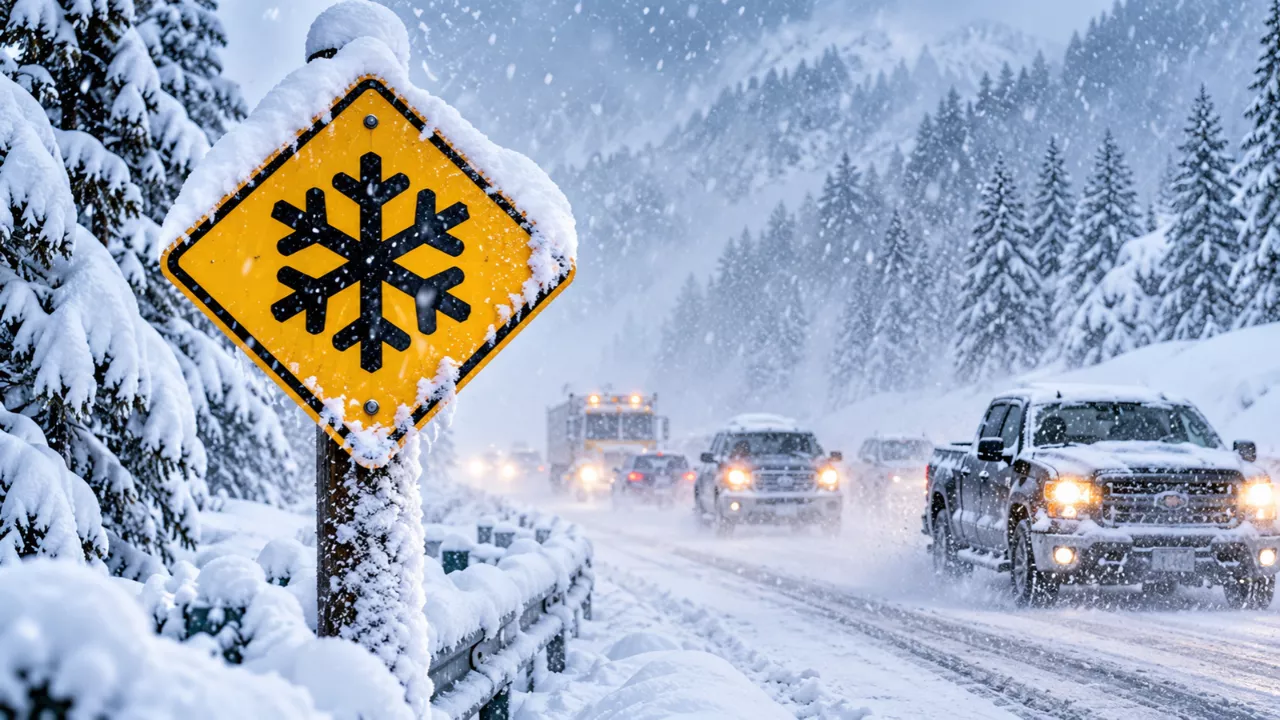
A winter storm watch has been issued for Alaska’s Interior and the passes of the Alaska Range. Forecasters say this week’s storm could drop up to 30 inches of snow and bring wind gusts as high as 65 mph. Strong south winds arrive first on Monday, followed by heavy snow that builds through Wednesday night. The National Weather Service (NWS) says the highest totals are possible above 2,500 feet, and the worst conditions are expected where highways climb through exposed terrain.
For anyone who drives, hauls freight, or commutes in the region, this is more than an ordinary early-season snowfall. The combination of wind and heavy snow can turn a passable road into a dangerous one within hours. Here is where the storm is expected to hit hardest, when, and what you can do to stay safe.
Where the Winter Storm Watch Applies and How Much Snow to Expect
The heaviest snow is forecast along the Richardson Highway, roughly from Mile Post 202 to 259. That stretch passes Trims Camp, Donnelly Dome, and Black Rapids. NWS Fairbanks expects 12 to 18 inches below 2,500 feet and 18 to 30 inches above that elevation, with gusts up to 40 mph. Forecasters warn that travel there could become very difficult to impossible.
The watch was widened on Sunday. It now reaches the Parks Highway through Cantwell, Healy, and Denali National Park, where 8 to 12 inches are possible from Monday evening through Wednesday. Fairbanks, North Pole, and Nenana are also included, with 4 to 8 inches expected from Tuesday into Wednesday afternoon. Light snow, possibly mixed with rain, comes first on Monday. The heavier round could affect the Tuesday evening and Wednesday morning commutes.
| Area | Expected Snow | Key Details |
|---|---|---|
| Richardson Highway (MP 202–259) | 12–18 in below 2,500 ft; 18–30 in above | Gusts to 40 mph; travel may be very difficult to impossible |
| Parks Highway (Cantwell, Healy, Denali area) | 8–12 in, more at pass level | Monday evening through Wednesday |
| Fairbanks, North Pole, Nenana | 4–8 in | Tuesday through Wednesday afternoon; commute impacts likely |
| Delta Junction and Tok | 6–12 in (locally 12–18 in near Tanacross and Dot Lake) | Northwest gusts to 35 mph keep fresh snow moving across roads |
| Steese and Elliott summits, southern Dalton | 5–10 in | Blowing snow likely at higher elevations |
| Paxson, Isabel Pass, eastern Denali Highway | 4–8 in | Winter weather advisory from NWS Anchorage |
Timing: When the 65 MPH Gusts and Heavy Snow Arrive
The storm unfolds in two phases. The first is wind. A wind advisory covers the Richardson Highway from Mile Post 224 to 259, with south winds of 30 to 40 mph gusting to 65 mph. It is in effect from early Monday into early Tuesday on the Eastern clock used in the NWS products (4 a.m. to 2 a.m. ET). That works out to roughly midnight through 10 p.m. Alaska time on Monday. Light snow in that window can lift into blowing snow, which cuts visibility even before the heavy accumulation starts.
The second phase is the snow. The winter storm watch runs from 11 a.m. ET Monday to 8 a.m. ET Thursday, which is about 7 a.m. Monday to 4 a.m. Thursday in Alaska. As the storm builds, the wind turns north on Tuesday. A watch is not a warning. Area, timing, and totals can still change if forecasters upgrade it, so check the latest NWS Fairbanks and Anchorage updates before you leave.
Why Wind and Blowing Snow Make This Storm Riskier Than the Totals Suggest
Snowfall numbers get the headlines, but wind is what makes mountain passes dangerous. Gusts of 65 mph can push tall vehicles out of their lane. Pickups with campers, vans, and anything towing a trailer are at the greatest risk. Blowing snow adds a second problem. Fresh powder keeps moving across the road, which reduces visibility and can leave drifts in places that were clear minutes earlier. Even the modest totals forecast for lower areas can feel far worse when the wind is active.
Timing matters as well. Because the snow may begin as a mix with rain, wet slush can freeze into a slick base once temperatures fall. A heavier layer then falls on top of it. Anyone with a Tuesday evening or Wednesday morning commute in the Fairbanks area should plan extra time or consider adjusting their schedule.
How to Drive Safely in High Wind and Heavy Snow
If you can postpone travel through the affected corridors, that is the safest choice. The wind advisory and the winter weather alerts cover different roads and different periods between Monday and Thursday morning, so confirm which one applies to your route. If you must go out, these steps help:
- Slow down with a trailer. A lower speed gives you more time to correct a sway before it builds.
- Treat Monday as a high-profile-vehicle problem. Avoid exposed stretches if you drive a tall or lightweight vehicle.
- Turn your headlights on manually. Daytime running lights on many cars light only the front, leaving the rear dark to anyone following in low visibility.
- Clear the lenses at every stop. Packed snow can block your lamps. LED headlights give off less heat than halogen bulbs, so snow may take longer to melt off them.
- Use low beams. High beams reflect off blowing snow and make it harder to see.
- Fill up on winter-rated washer fluid. Summer fluid can freeze on the windshield at highway speed.
Getting Your Vehicle and Household Ready Before Monday
A few hours of preparation can prevent a long wait on the roadside. Check tire tread and pressure, and if you have not yet switched to winter tires, do it before the storm arrives. Top off fuel, since a full tank gives you more range if you are delayed. Pack a winter kit in the vehicle with warm layers, a blanket, a flashlight, a shovel, traction aids, water, snacks, and a charged power bank.
At home, secure loose outdoor items before the Monday gusts. Charge phones and backup batteries in case wind brings down power lines. Let someone know your route and expected arrival time if you are heading over a pass. Early-season storms often catch people out because winter habits have not kicked in yet.
Frequently Asked Questions
What is the difference between a winter storm watch and a winter storm warning?
A watch means conditions are favorable for a significant winter storm, but timing, location, or totals are still uncertain. A warning means the storm is occurring or is imminent and travel impacts are expected.
How much snow could this Alaska storm produce?
Forecasters say 18 to 30 inches are possible above 2,500 feet along the Richardson Highway, with 12 to 18 inches below that elevation. Lower totals of 4 to 12 inches are expected across the Parks Highway corridor, Fairbanks, Delta Junction, and Tok.
When will the 65 mph gusts happen?
The strongest gusts are expected on Monday along the Richardson Highway between Mile Post 224 and 259. They are forecast to ease by early Tuesday, when the wind turns north and the heavier snow builds.
Should I keep my headlights on in blowing snow?
Yes. Turn them on manually so your taillights are lit as well, use low beams, and clear snow from the lenses whenever you stop.
Brisbane Coldest Capital This Week: What a Soggy, Cool Spell Means for South-East Queensland..