
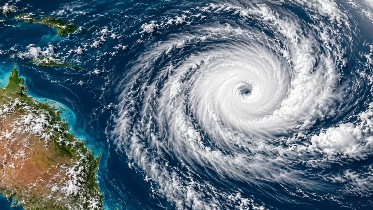
The first tropical cyclone in the Southern Hemisphere has formed ahead of season, and it has surprised plenty of people who follow the weather. Tropical Cyclone Wati was declared a Category 1 system by the Nadi Weather Office of Fiji in the early hours of Saturday 17 October 2026, just offshore of the Cook Islands. That is a full two weeks before the Australian and South Pacific cyclone season officially opens on 1 November. For anyone who lives in or travels to the region, an early storm is a good reminder that the calendar is a guide, not a guarantee.
What Is Happening With Tropical Cyclone Wati?
Wati is the first named system of the 2026-27 season. It is forecast to strengthen to a Category 2 cyclone as it tracks south-southeast across the South Pacific, passing over the Lower Cook Islands on Monday 19 October. After that, the path points toward cooler water, which should weaken the system.
Forecasters expect Wati to merge with a frontal system in the southern Pacific and transition into an extratropical storm. Apart from its crossing of the Cook Islands, it is not forecast to affect any other land. This is not a repeat of the most destructive early storms the region has seen, though residents in its path should still follow official advice from their local meteorological service.
Why Did a Cyclone Form Before the Season Started?
Tropical cyclones need very warm ocean water, generally around 26 to 27 degrees Celsius or more, to form and grow. In a typical year, the South Pacific only reaches that point around the start of November, which is why the season is set where it is.
This year the Pacific is running well above its normal temperature. The ongoing development of El Niño has pushed sea surface temperatures far above average, which makes early cyclone formation possible. The season dates are a statistical convenience. The ocean decides when a storm can actually form.
How Unusual Is an Out-of-Season Cyclone?
Not as rare as you might think. The last pre-season cyclone in the South Pacific was Severe Tropical Cyclone Lola in October 2023. Lola formed in exceptionally warm waters near the Solomon Islands, at around 30 degrees, during the 2023-24 El Niño. It tracked south toward Vanuatu and struck on 25 October as a Category 5, the earliest Category 5 cyclone on record in the Southern Hemisphere.
The comparison with Wati is useful. Both storms were fuelled by a warm Pacific linked to El Niño, but Wati’s track takes it into cooler water, so a Lola-style outcome is not expected.
| Feature | Tropical Cyclone Wati (2026) | Severe Tropical Cyclone Lola (2023) |
|---|---|---|
| Month of formation | October | October |
| Formation area | Offshore of the Cook Islands | Near the Solomon Islands |
| Climate backdrop | Developing El Niño | 2023-24 El Niño |
| Peak intensity | Forecast Category 2 | Category 5 |
| Expected path | South-southeast into cooler water | South toward Vanuatu |
| Land impact | Lower Cook Islands | Vanuatu |
What an Early Cyclone Signals for the Season Ahead
One storm does not define a season, and it would be a mistake to read too much into a single system. Still, Wati shows that conditions in the Pacific are favourable for tropical development earlier than usual. El Niño years also tend to shift where cyclones form, often moving activity further east across the Pacific, which is worth keeping in mind for island communities.
If you live in, or are planning travel to, a cyclone-prone area, a few habits are worth building now:
- Check your local meteorological service for official forecasts and warnings, rather than relying on social media summaries
- Review your household emergency plan, including where you would shelter and how you would communicate
- Keep a basic kit ready with water, torches, batteries, medication and important documents
- Secure outdoor items and know how to shut off utilities at home
- Build flexibility into travel plans across the Pacific from now through April
Frequently Asked Questions
When does the Australian and South Pacific cyclone season officially start?
The season officially begins on 1 November and runs through to the end of April. Wati formed about two weeks earlier.
Is Tropical Cyclone Wati a major threat?
No. It is forecast to peak at Category 2 and to cross the Lower Cook Islands on 19 October before moving into cooler waters. It is expected to weaken and transition into an extratropical system.
What role does El Niño play in early cyclones?
El Niño is warming Pacific surface temperatures well above average. Warm water provides the energy cyclones need, so storms can form before the official start of the season.
Does an early cyclone mean the whole season will be severe?
Not necessarily. A single early storm shows that ocean conditions are favourable, but it does not predict how many cyclones will form or how strong they will be. Always follow your national weather service’s seasonal outlook.
France Storm Alert: Where Strong Winds Could Hit From Thursday to Saturday…
1 thought on “Cyclone Wati Arrives Early: Why the Southern Hemisphere’s First Storm of 2026-27 Formed Before Season..”
Comments are closed.